|
1st ESO - Geography and History
|
Materiales de la Unidad
|
Otros Materiales
|
|
|
|
- Unit 2: Formation of the
Earth's Relief
- Formation of the Earth's Relief (pps)
- Landforms (pps)
- External Forces (pps)
|
- Hot Potatoes:
- Agents of Erosion (pps)
|
|
Nota: en esta unidad se trabajan los continentes a través
de mapas físicos.
- Unit 3: The continents:
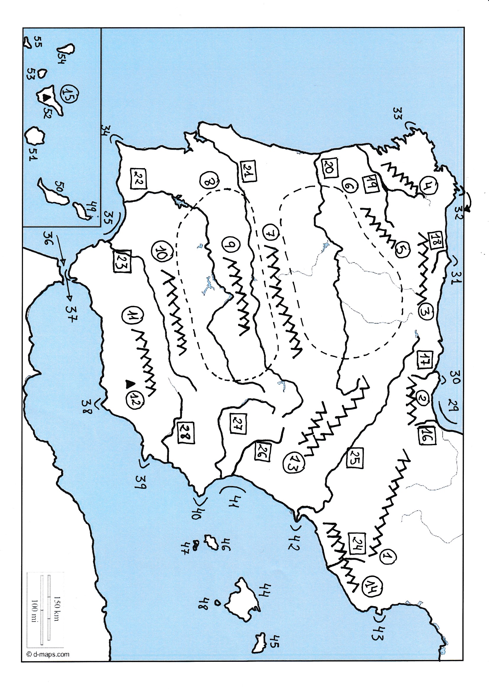
- Spain
- Map of Spain (Jpg)
- List of Geographical Features for the student (Doc)
- Exam (Doc)
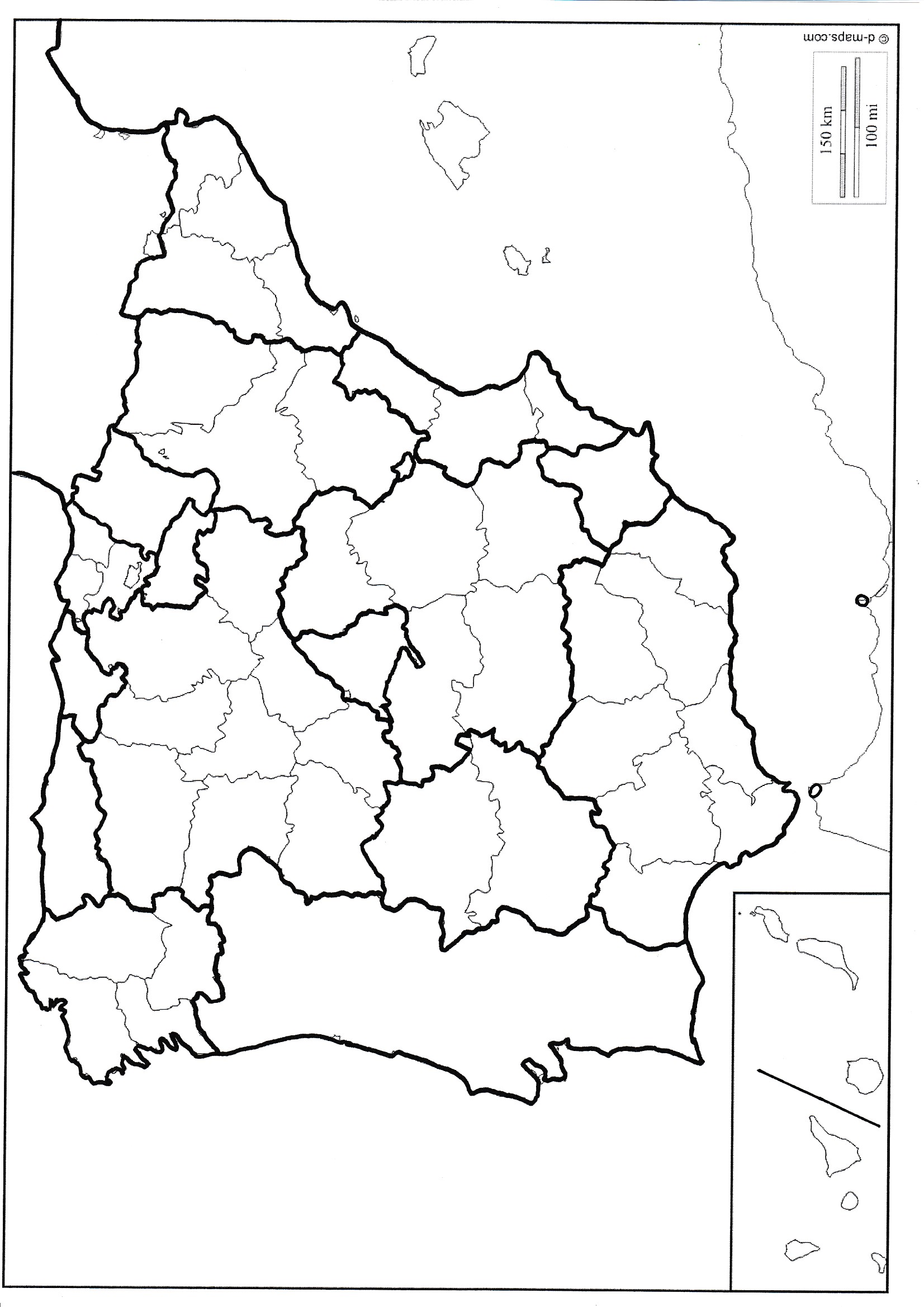
- Spain - Political Map
- Political Map of Spain (Jpg)
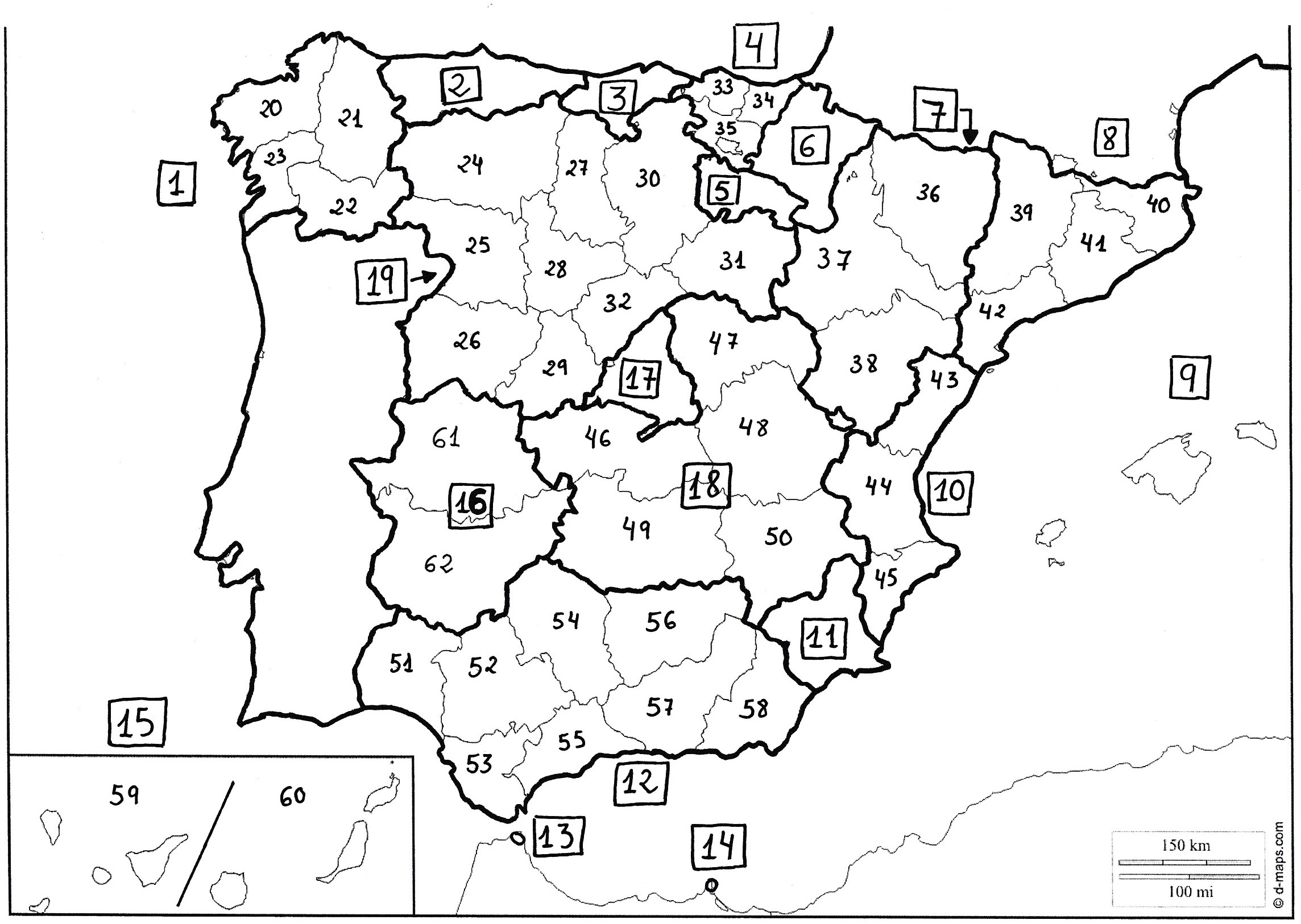
- Map for the Exam (Jpg)
- Exam (Doc)
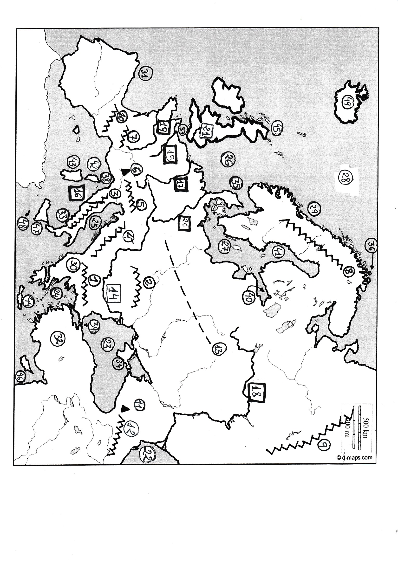
- Europe
- Map of Europe (Jpg)
- List of Geographical Features (Doc)
- Map for the Exam (Jpg)
- Exam (Doc)
- Asia
- Map of Asia (Jpg)
- List of Geographical Features (Doc)
- Exam (Doc)
|
- Presentación para repasar CCAA de España. (Pps)
- Presentación para repasar Provincias de Espaá (Pps)
|
- Unit 4: Weather and Climate
(Elements and Factors)
|
|
- Unit 5: Climates of the world
- Distribution of the Climates of the World (Pps)
- Climates of the World (tabla). (Doc) (Pdf)
- Landscapes (Pps)
Nota: a los alumnos les suelo entregar la tabla de climas,
la cual tienen que ir recortando según les voy explicando y
al acabar la clase tienen que mezclar las cartas e intentar
ponerlas en el orden correspondiente.
Para explicar los climas utilizo el power point de los
"Landscapes"
|
- Juego: Quiz about the Climates (Pps)
- Juego: Guess the Climate (climate graphs) (Pps)
- Mapa de Climas del mundo (Doc)
- Mapa de Climas para colorear (Doc)
|
|
|
|
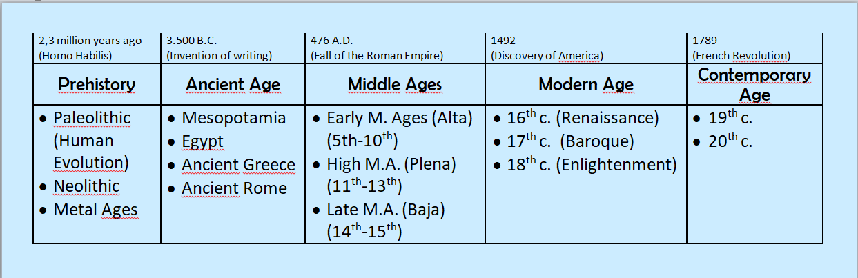
- Unit 6: Prehistory
- Human Evolution (Pps)
- Human Evolution (Ficha de trabajo). (Doc)
- Contenido de la unidad en formato "Visual thinking"
- Prehistoric Art (Pps)
|
|
- Unit 7: Mesopotamia and Egypt
- Ancient Mesopotamia (Pps)
- Mesopotamian Art (Pps)
- Ancient Egypt (Pps)
- Ancient Egypt - Art (Pps)
|
- Crosswords
- Ancient Mesopotamia (Doc)
- Key (Doc)
- Ancient Egypt (Doc)
- Key (Doc)
|
|
|
|
|
|
|
